Pilgrim safety. Powered by intelligence.
The Safest Path for Every Pilgrim.
Nasaim is a heat-safe, risk-aware routing platform for Hajj and Umrah operations. We help operators protect pilgrim groups with real-time risk insights, adaptive routing, and haptic navigation.
Mapping
Routing
Alerts
Guidance
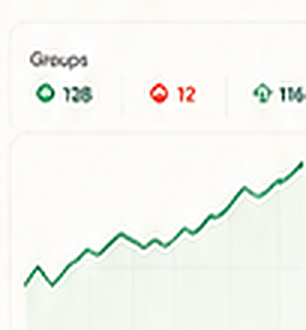
Operator Dashboard
Live
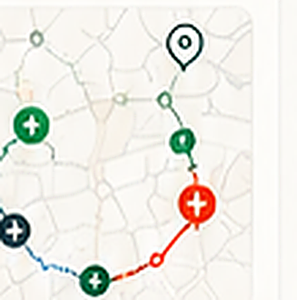
Route Safety Comparison
Route A (Shortest)
1.2 km · 18 min 38/100 High Heat · High CrowdRoute B (Shaded + Clinic)
1.5 km · 24 min 91/100 Low Heat · Low CrowdRoute C (Balanced)
1.4 km · 22 min 64/100 Medium Risk
!
HEAT RISING - Delay movement 10 min or take Route B with cooling stop at Mina water point.
The Challenge
Extreme heat, massive crowds, and vulnerable pilgrims create unseen risks every day during Hajj and Umrah.
51.8°C
Extreme temperatures recorded
1.67M+
Pilgrims in the same transit corridors
70%+
Pilgrims are elderly or medically vulnerable
Minutes
Delays can lead to serious heat stress
Platform capabilities
Everything you need for safer pilgrim operations.
Heat-Risk Map
Live heat, shade, humidity, clinics, water points, and risky corridors.

Group Profile Engine
Routes adapt to your group's age, health conditions, and mobility needs.
Route Risk Scoring
Every route gets a live safety score based on multiple dynamic risk factors.
Safety Score
91/100
Cooling Stop Planner
Recommends rest stops, cooling points, delays, or group splits.
Operator Dashboard
High-altitude overview and quick actions to reroute, delay, or split groups.
Haptic Guidance
Turn-by-turn vibration cues so pilgrims can navigate without looking at a screen.
Innovative & inclusive
Haptic Navigation for Every Pilgrim
Vibration-based turn-by-turn guidance designed for elderly, visually impaired, and anyone who should not be looking at a screen under the sun.
Learn More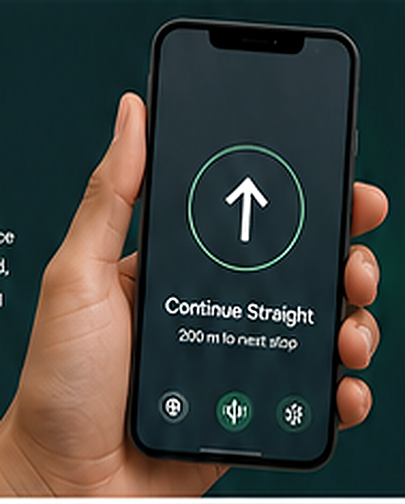
Haptic patterns
↑
Turn LeftShort double pulse
↑
Turn RightSingle long pulse
+
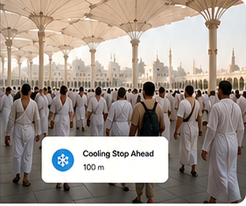
Cooling Stop AheadMain triple pulse
○
Stop & WaitHeavy continuous buzz
Operator managing 120 elderly pilgrims from Camp A7 to Jamarat.
Route options
Safety score
Route A (Shortest, 1.2 km)High heat, high crowd
38/100Route B (Shaded + Clinic, 1.5 km)Low heat, low crowd
91/100 RecommendedRoute C (Balanced, 1.4 km)Medium risk
64/100
Heat risk drops 73%. ETA: 24 minutes.
Ready to make every journey safer?
Join the future of intelligent pilgrim safety.